
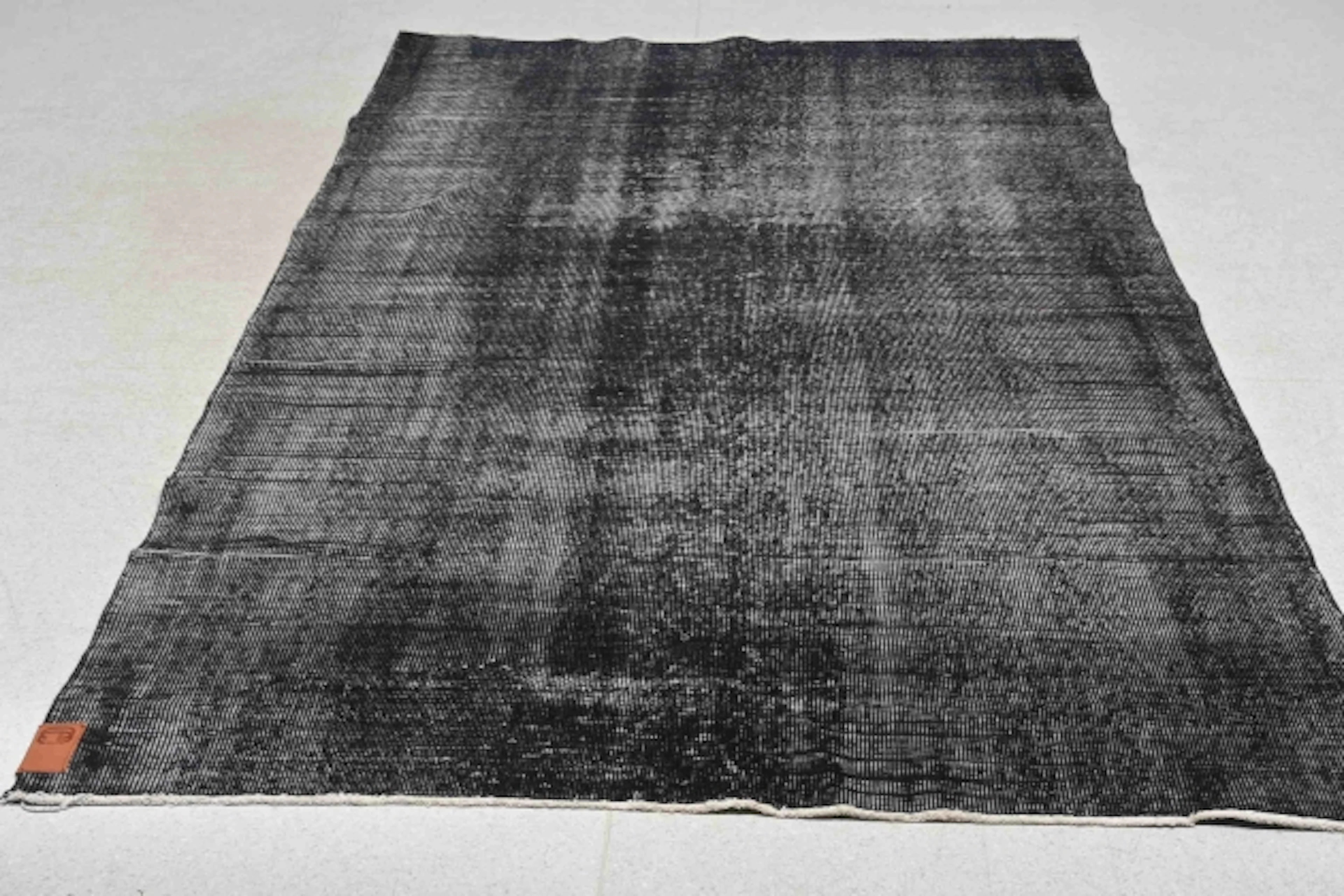



OCT 17 | 10:00 PM

Bring your auction to collectors worldwide!
Get listed nowBy subscribing, you are agreeing to the privacy policy. Unsubscribe anytime.
Barnebys HQ
Brahegatan 10
BOX 5038
114 37 Stockholm
All auctions / Carpets, Rugs & Textile / 1922 British India Official Military Wall Map

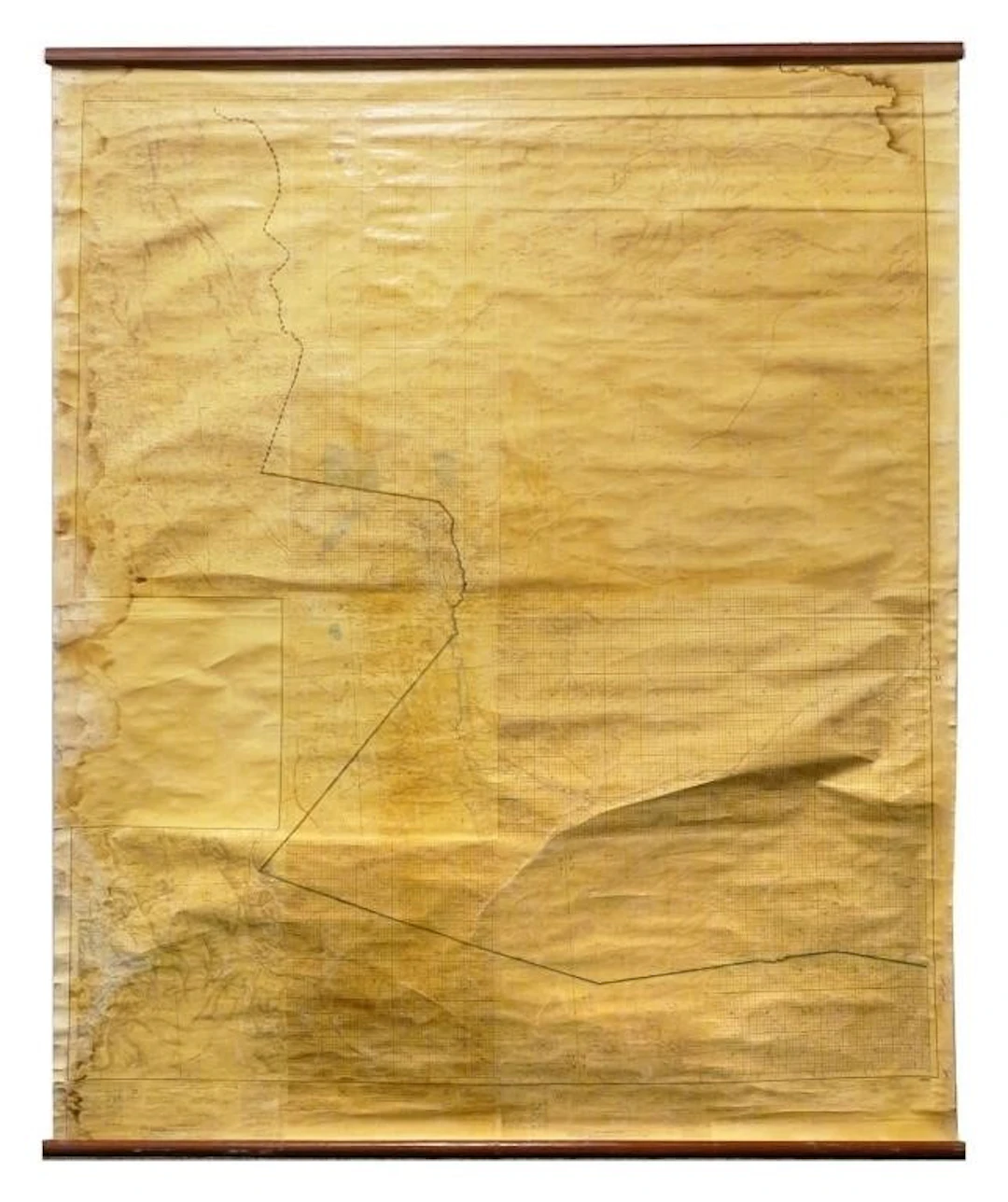
Large British Survey of India composite hanging map covering western Afghanistan and adjoining frontier regions. Survey of India No. 29 series, scale 1 inch to 4 miles (1:253,440). Published under the direction of Colonel Sir S. G. Burrard, Surveyo r General of India, in 1916 and reprinted in 1922 with additions and corrections from extra-departmental information. Sheets prominently marked "For Official use only", with printed instructions stating that information concerning the compilation o f the sheet could be obtained from the Chief of the General Staff, Simla. Detailed topographical mapping includes settlements, roads and tracks, waterways, elevations, relief and administrative boundaries. With colored manuscript boundary or route markings of undetermined origin. Composite sheets mounted as a monumental hanging wall map with wooden rollers. Approximately 63" x 77". Extensive toning, staining, creasing and surface wear, with tears, edge losses and areas of paper deterioration . Areas of separation and loss along sheet edges and joins. Protective surface coating shows considerable wrinkling and cracking. Wooden rollers show wear. See images. shipping info This item will need to be shipped by a packing company of your choice. We maintain a list of reliable shippers, or you may choose your own.
Estimate:£453.54
To the auctionView all items fromBlackwell AuctionsorCarpets, Rugs & Textile
Estimate:
£453.54
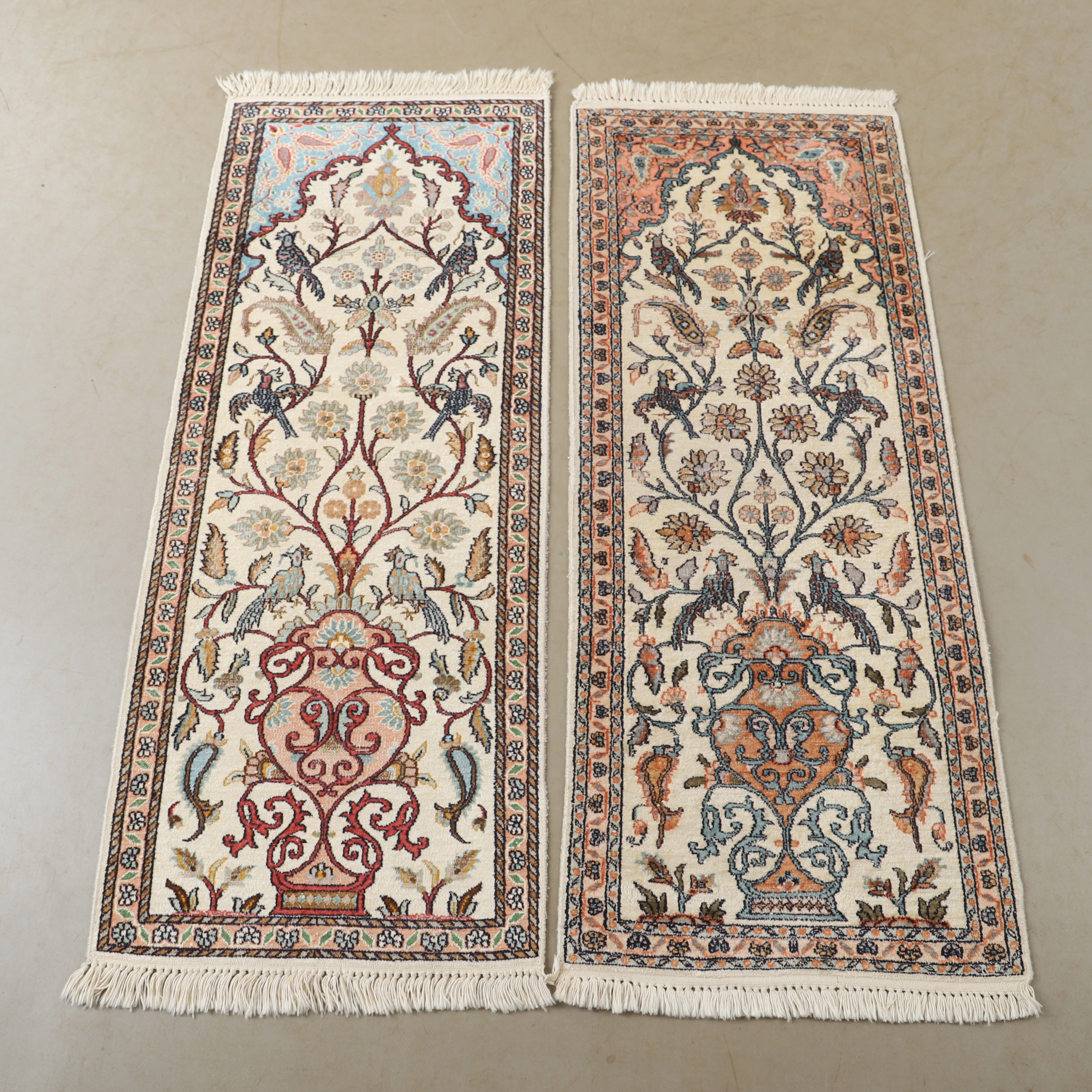
OCT 17 | 10:00 PM


Bring your auction to collectors worldwide!
Get listed now£7.6
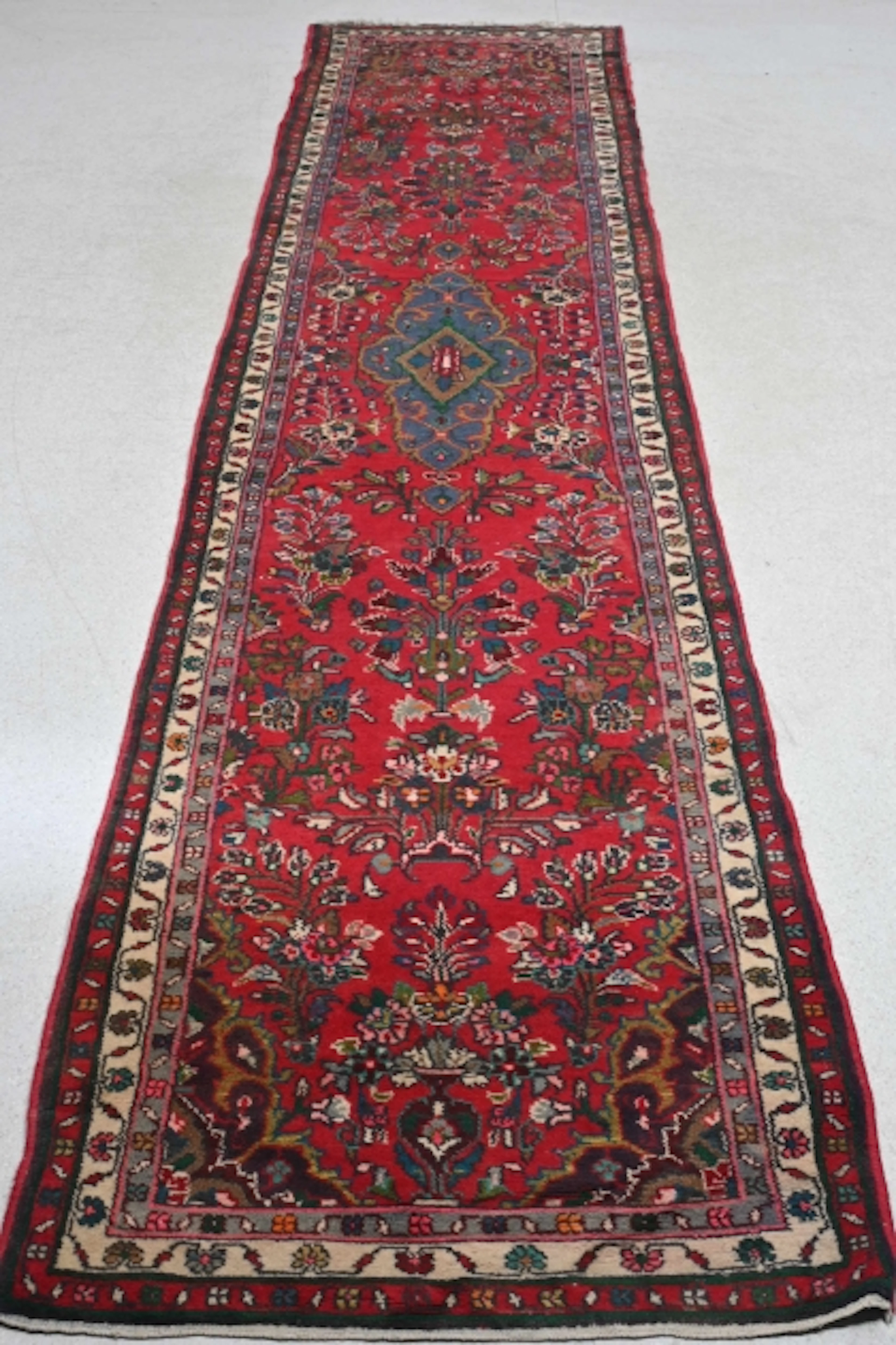
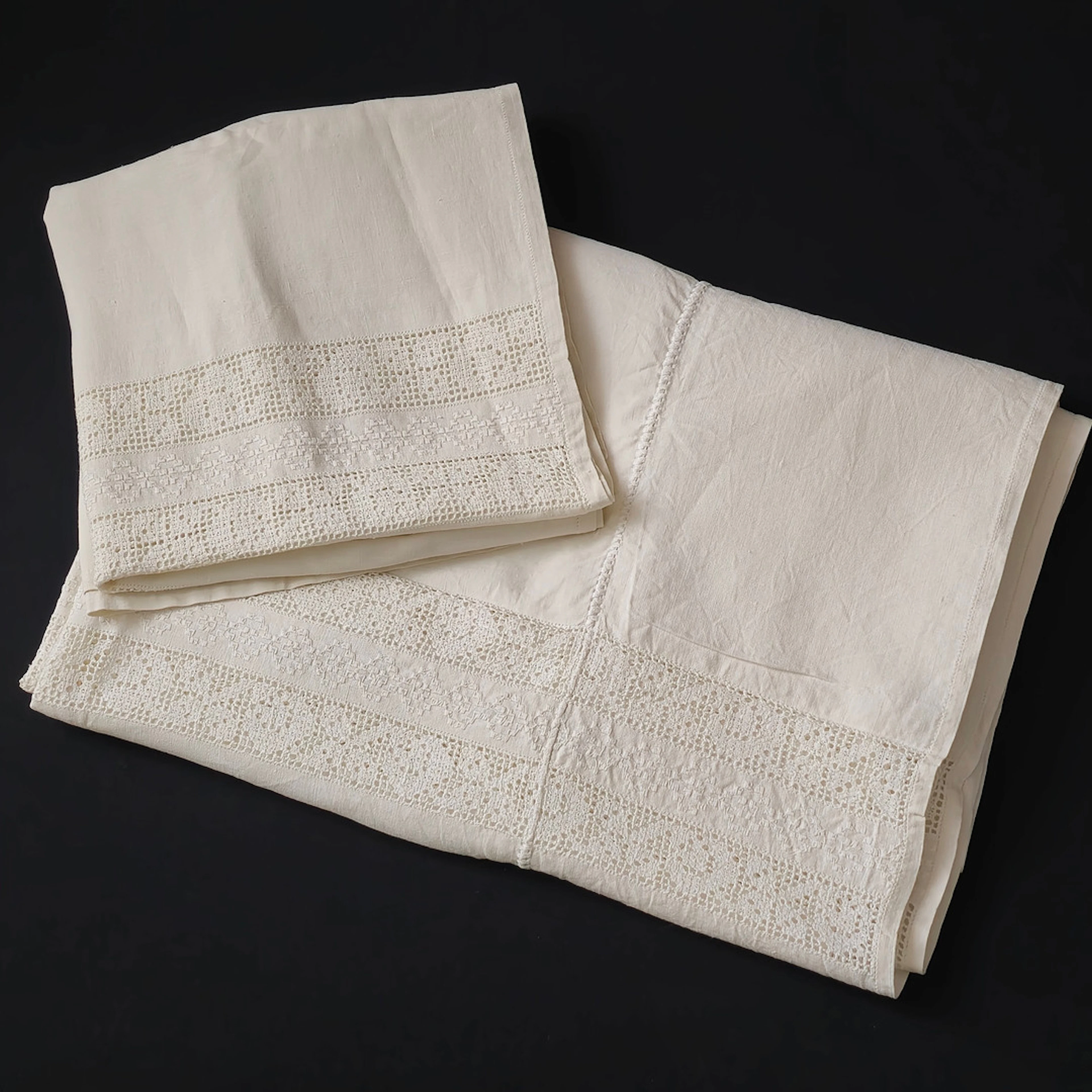
COLCHA DE CAMA DE MATRIMONIO DE HILO CON PUNTILLA.
10/07/2026
£46.61
Est: £59.46