






OCT 17 | 10:00 PM

All auctions / Books, Maps & Manuscripts / Early Maps 18th century "partie des isles antilles" French map, partly
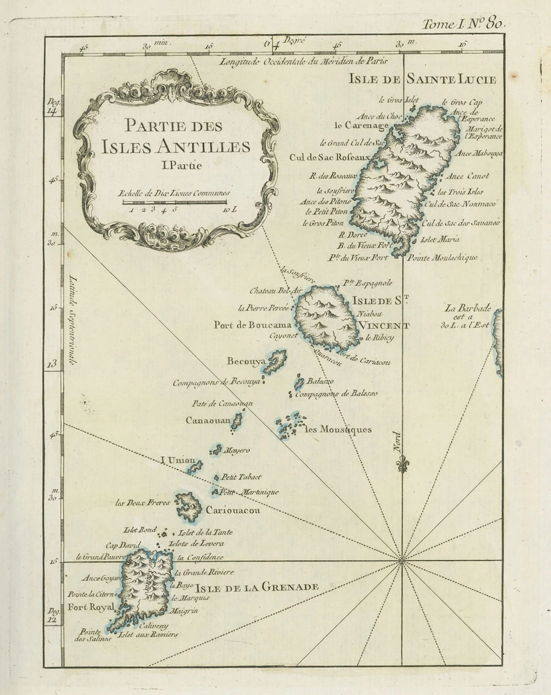
Early Maps 18th century "partie des isles antilles" French map, partly coloured, showing Grenada, St. Lucia and St. Vincent and Grenadines; 1805 (24 June) coloured map of the West Indies punlished by the Rev. E. Patterson of Richmond, Surrey; and 1806 (30 June) map of St. Lucia published by J. Gold of London; fine Subject to 20% VAT on Buyer’s Premium. For more information please view Terms and Conditions for Buyers.
Estimate:£150
To the auctionView all items fromSpink AuctionsorBooks, Maps & Manuscripts
Estimate:
£150
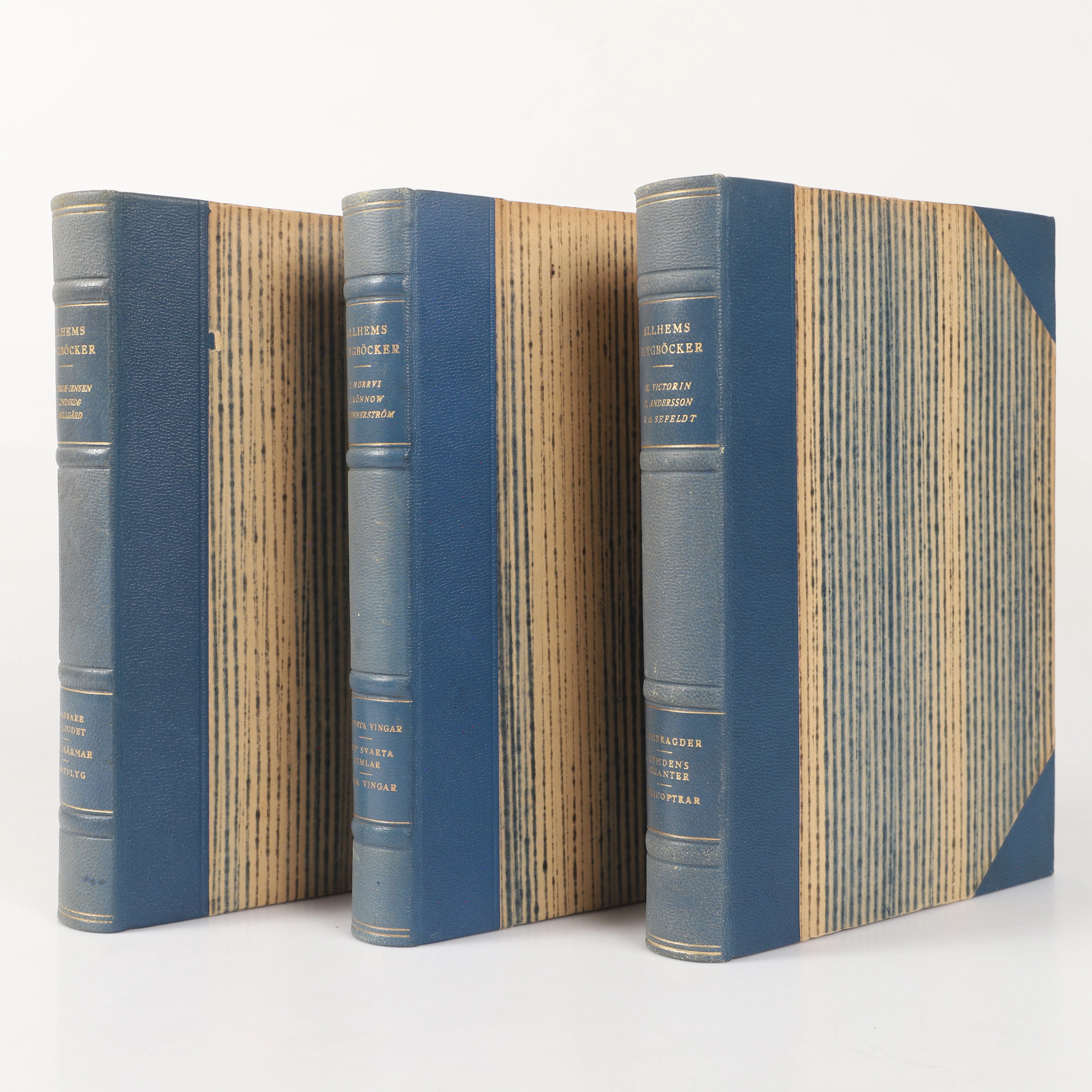
BÖCKER, 3 stycken, "Allhems Flygböcker", A.-B Allhems Förlag, Malmö, 1946-1948.
10/10/2026

£22.65
Est: £30.24
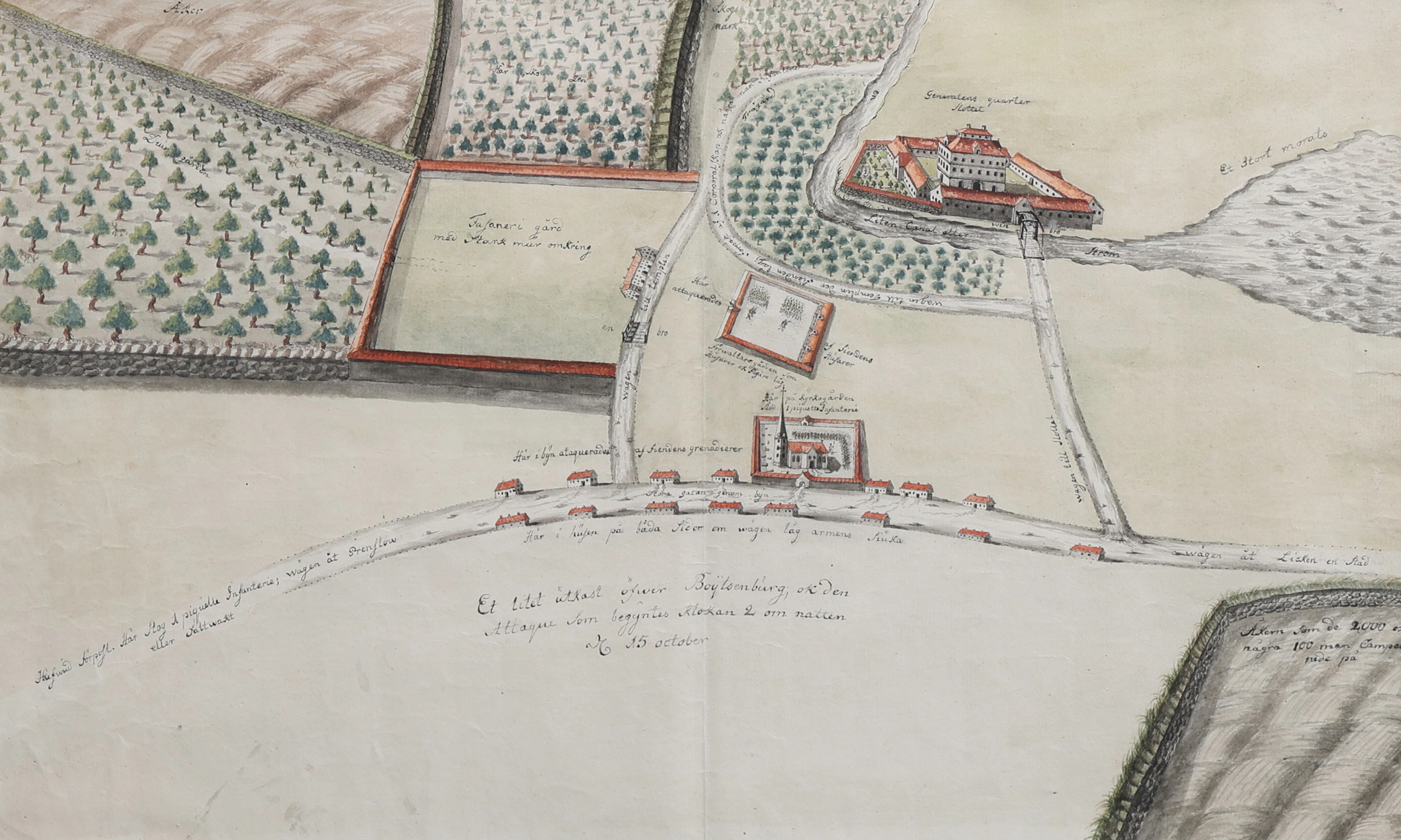
HANDRITAD SITUATIONSKARTA ÖVER BOITZENBURG, MECKLENBURG-VORPOMMERN
10/10/2026
£328.55
Est: £302.48
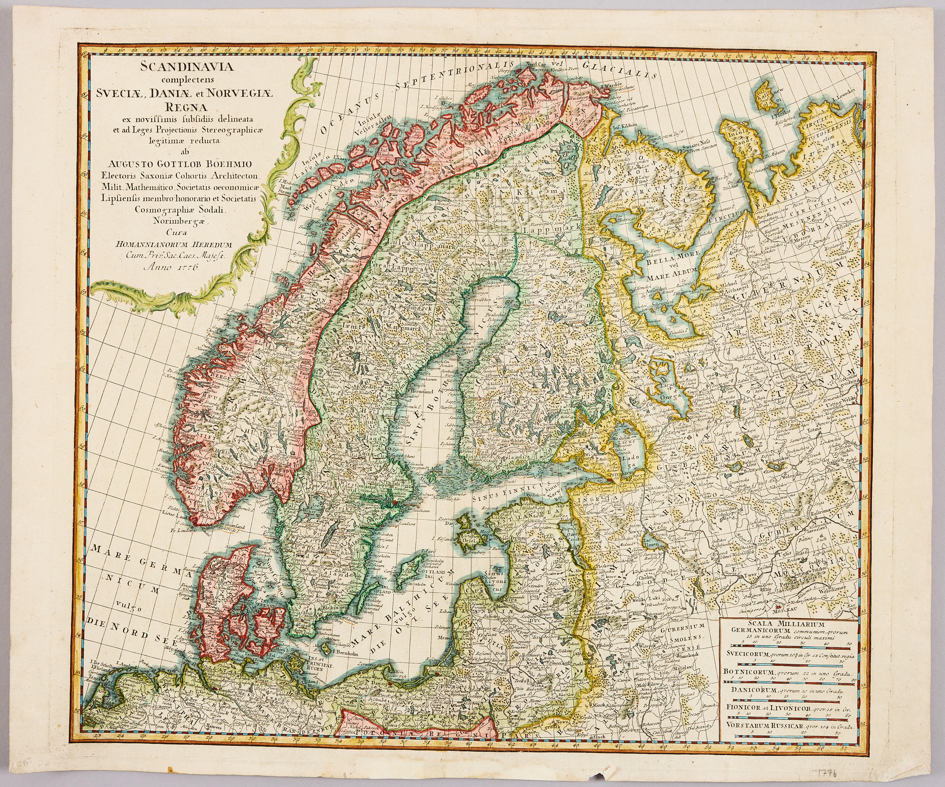
HOMANNS ARVINGAR, KARTA ÖVER SKANDINAVIEN, ca 1770.
10/09/2026
£83.15
Est: £90.98

OCT 17 | 10:00 PM


Bring your auction to collectors worldwide!
Get listed nowBy subscribing, you are agreeing to the privacy policy. Unsubscribe anytime.
Barnebys HQ
Brahegatan 10
BOX 5038
114 37 Stockholm
