



OCT 17 | 10:00 PM

All auctions / Arts & Graphics / Map of Virginia & Chesapeake Bay, Circa 1635

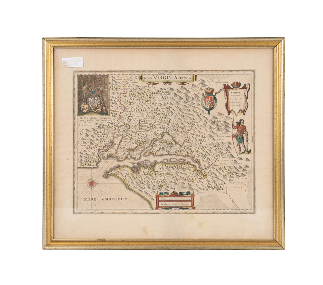
Map of Virginia & Chesapeake Bay, Circa 1635 "Nova Virginia Tabula" from "Theatrum Orbis Terrarum, Sive Novus Atlas", published by Willem Blaeu (Dutch, 1571-1638), circa 1635, hand-colored engraving on laid paper, from the plate engraved and first published by Jodocus Hondius Jr. (Dutch, 1594-1629) in 1618 and based on the famous map of Virginia made by John Smith (English, circa 1579-1631) in 1612, Derivative 1, State 2. Double sided frame with the Latin text visible on the verso. Approximate dimensions: Sight: 19 1/2 x 22 3/4 in. (49.5 x 57.8 cm.) Frame: 21 5/8 x 24 7/8 x 7/8 in. (54.9 x 63.2 x 2.2 cm.)
Estimate:£604.09
To the auctionView all items fromAhlers & OgletreeorArts & Graphics
Estimate:
£604.09

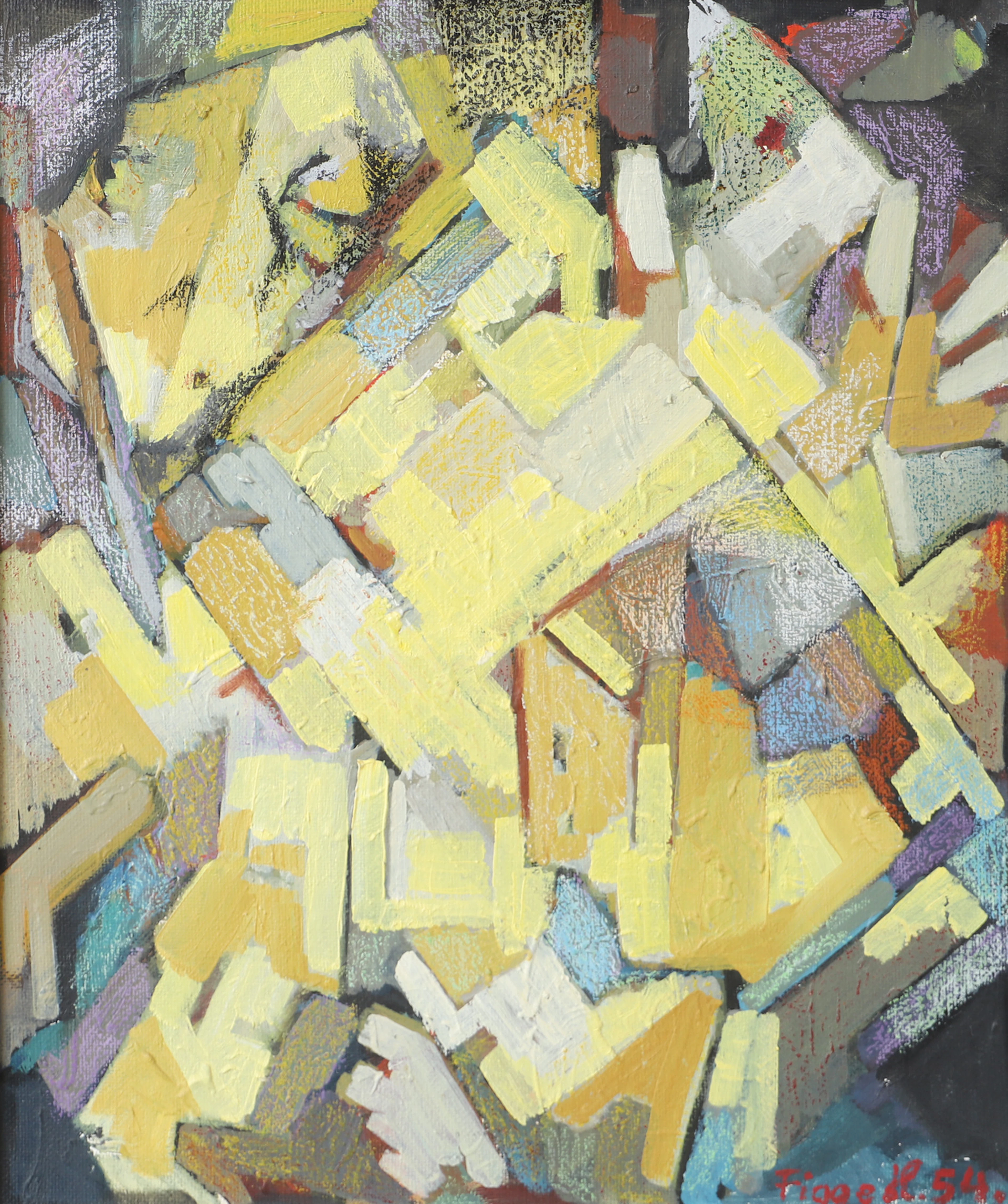
FIGGE HOLMGREN. Komposition i gult, olja på pannå, signerad Figge H. -54.
10/07/2026

£202.81
Est: £60.3
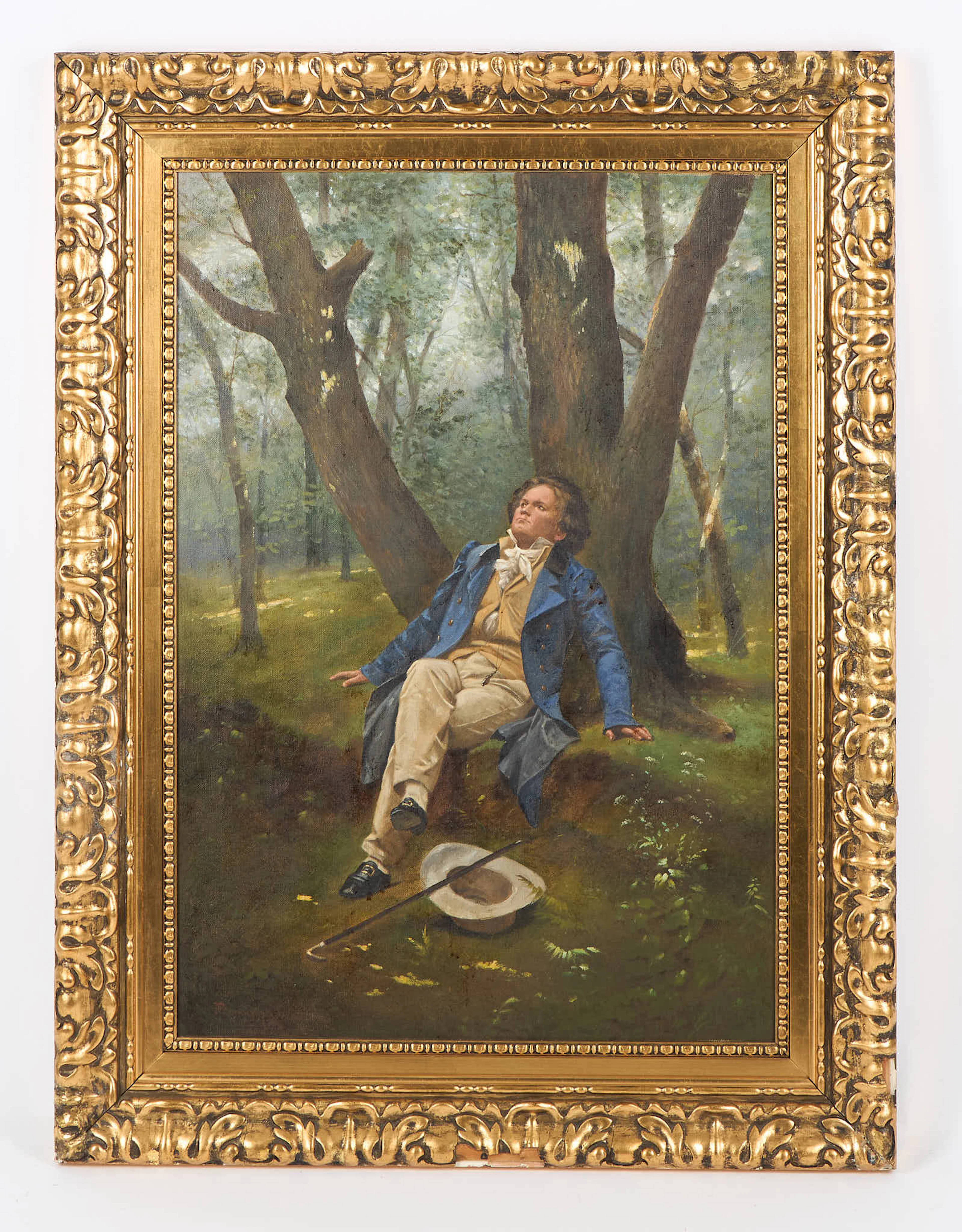
IGNAZ PAPAUSCHEK (1864-1910). TILLSKRIVEN. Vilande Gentleman, signerad
10/07/2026
£127.14
Est: £254.47
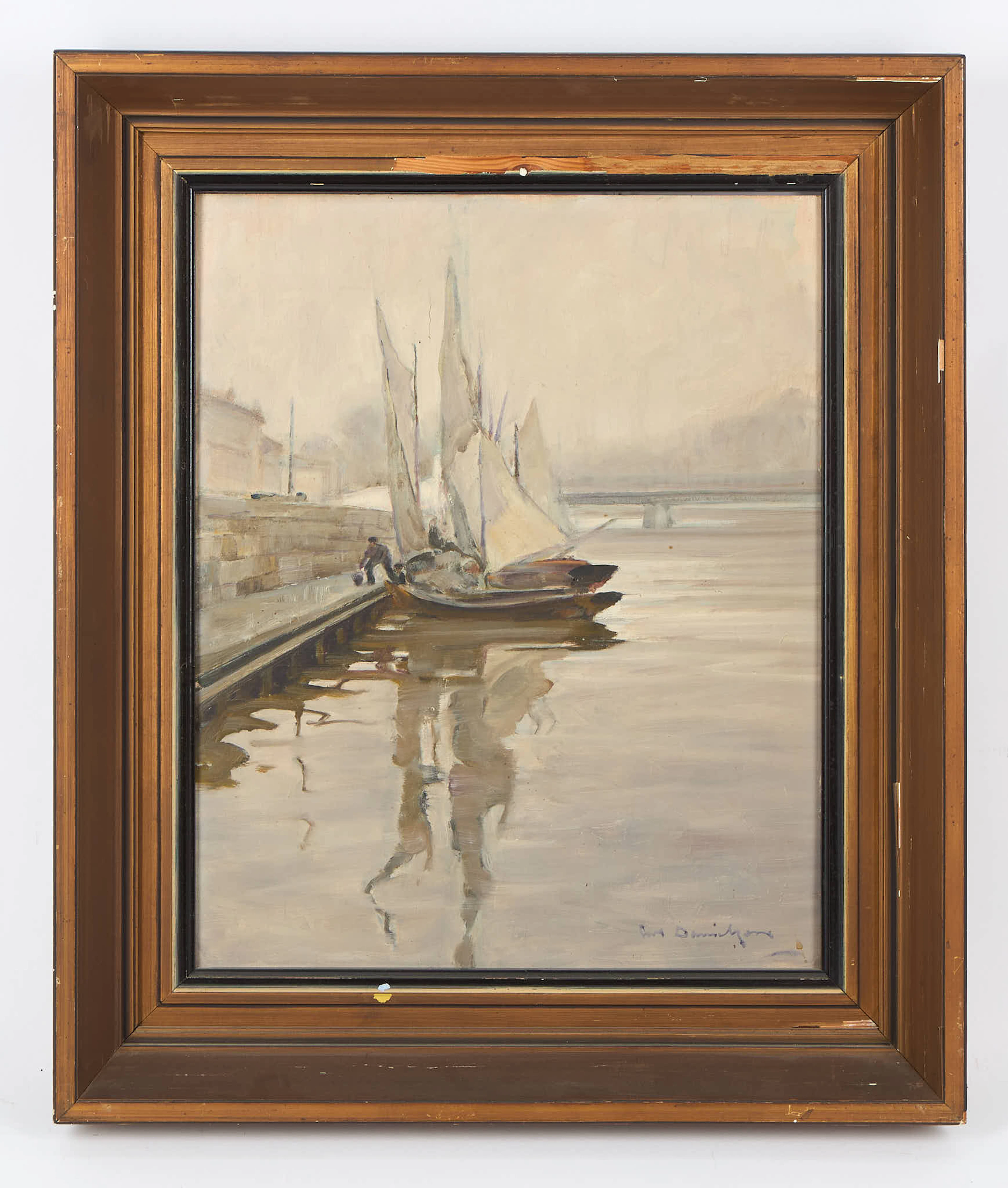
CARL DANIELSON. Hamnvy, signerad, olja på pannå.
10/07/2026
£118.66
Est: £212.06
OCT 17 | 10:00 PM


Bring your auction to collectors worldwide!
Get listed nowBy subscribing, you are agreeing to the privacy policy. Unsubscribe anytime.
Barnebys HQ
Brahegatan 10
BOX 5038
114 37 Stockholm
