





OCT 17 | 10:00 PM

Bring your auction to collectors worldwide!
Get listed nowBy subscribing, you are agreeing to the privacy policy. Unsubscribe anytime.
Barnebys HQ
Brahegatan 10
BOX 5038
114 37 Stockholm
All auctions / Books, Maps & Manuscripts / "Railway Atlas of Germany, Belgium, Alsace, and the northernmost part of Italy"

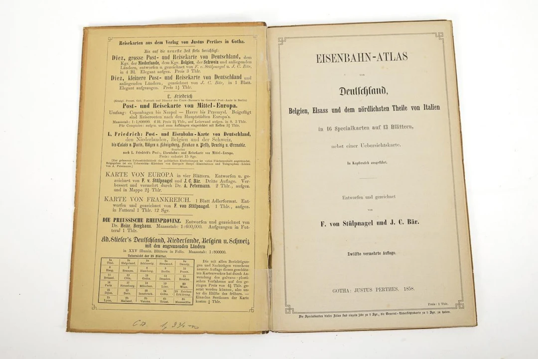
"Railway Atlas of Germany, Belgium, Alsace, and the northernmost part of Italy"Justus Perthes Publishing House. Gotha. 1858. 23.5 x 15 cm.12th expanded edition, by F. von Stülpnagel and J. C. Bär. Large map of Germany and neighboring regions and 13 double-page maps.Extensive railroad network just 23 years after the first train ran in Germany.*This is an automatically generated translation from German by deepl.com and only to be seen as an aid - not a legally binding declaration of lot properties. Please note that we can only guarantee for the correctness of description and condition as provided by the German description.
Estimate:£59.77
To the auctionView all items fromWendl AuktionshausorBooks, Maps & Manuscripts
Estimate:
£59.77
OCT 17 | 10:00 PM


Bring your auction to collectors worldwide!
Get listed now£257.04
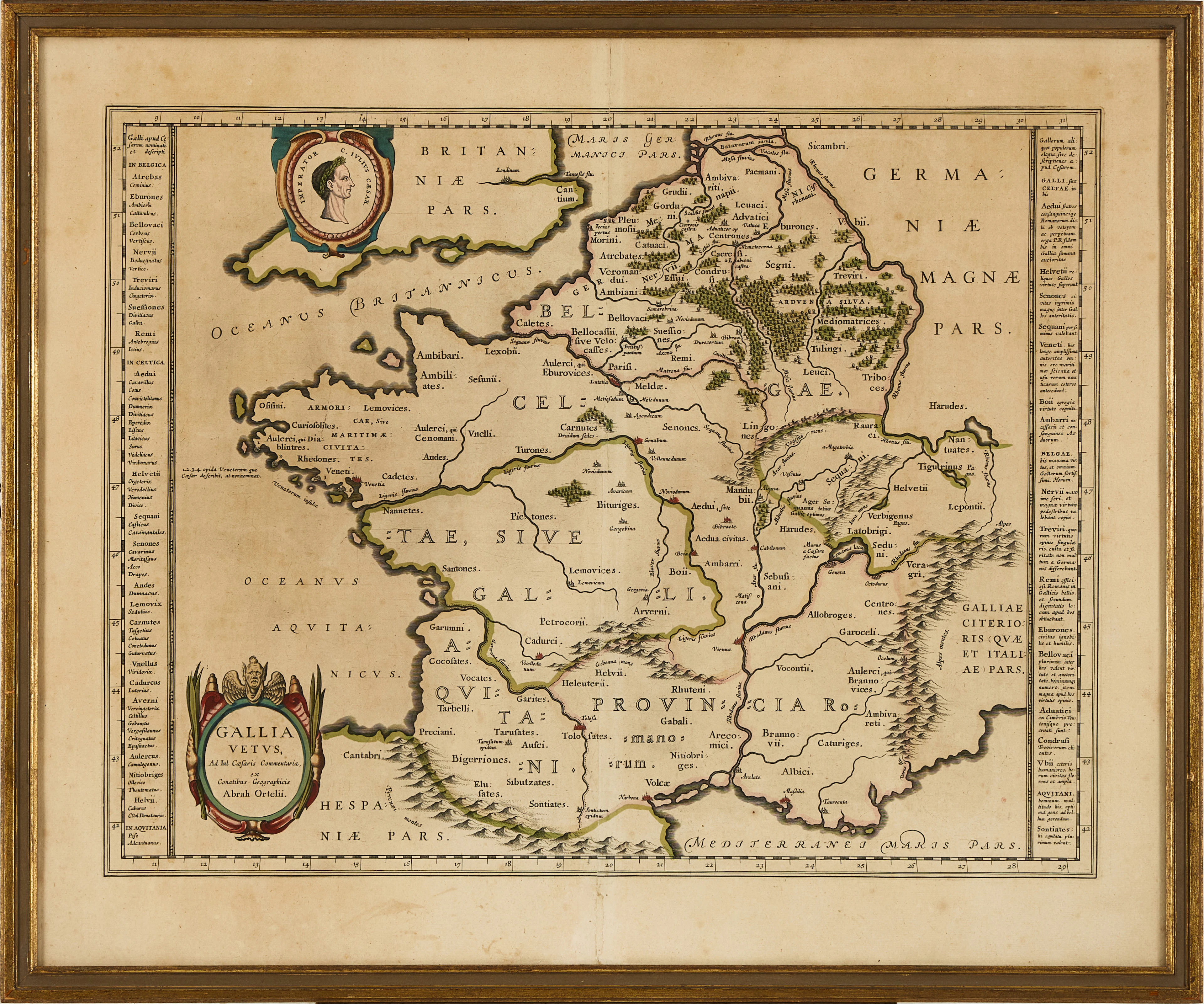
KARTA ÖVER FRANKRIKE, ORTELIUS GALLIA VETUS, ca 1590-1610.
10/06/2026
£60.54
Est: £113.04
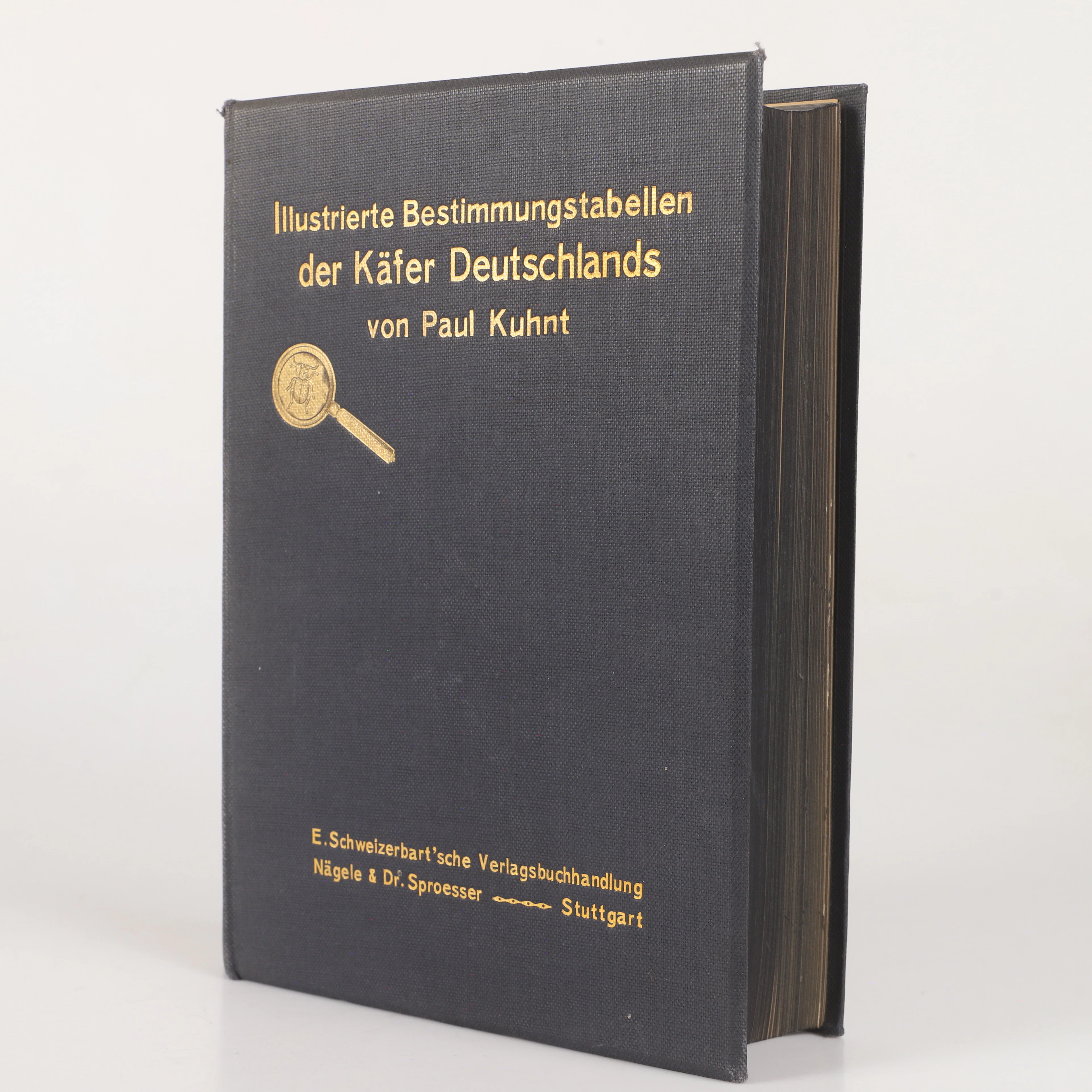
BOK, "Illustrierte bestimmungstabellen der käfer Deutschland"Paul
10/06/2026

£22.7
Est: £30.25

