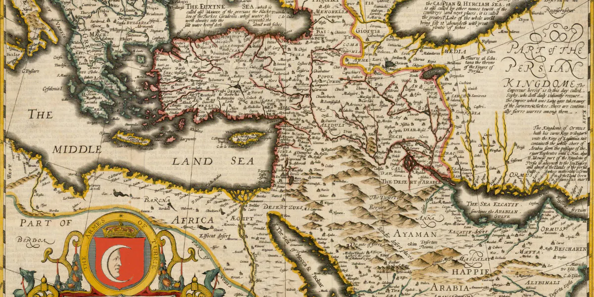
There's more to a map than meets the eye. "The first thing to understand is that there's no such thing as a typical map collector", says Tim Bryars, a leading map and rare book dealer. "Map collectors come from all walks of life". Briars' atmospheric, book-lined gallery is situated in London's Cecil Court, a historic alleyway connecting St Martin's Lane and Charing Cross Road and still lit by gaslight. Bryars teaches us that there are two ways to collect: most people choose to refine their buying, collecting either 'vertically' (for example, with maps showing the same place through the centuries), or 'horizontally' (with maps covering many parts of the world, but printed in the same era).
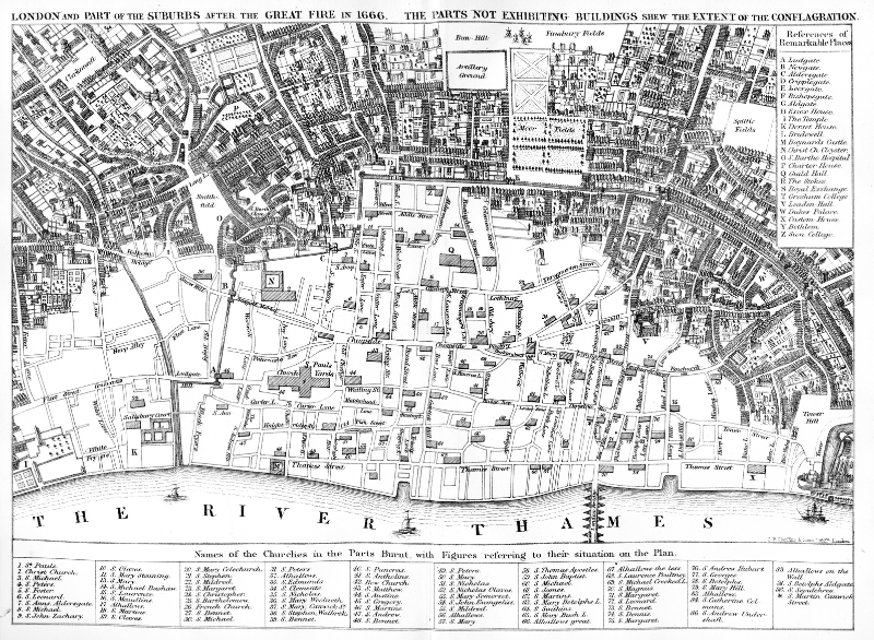
A 'vertical' collector might be interested in maps of London after the Great Fire, or maps showing the Blitzed areas from the Second World War – records of destruction centuries apart. Thinking 'horizontally', a connoisseur of the Napoleonic era might be as interested in maps of the Spanish Peninsula, Russia, and the battlefield of Waterloo; the Island of St Helena or the Corsica of Bonaparte's birth. Likewise, a person interested in the history of piracy might start to collect maps of the various Caribbean islands during the 17th and 18th centuries – even if Hollywood's beloved 'Treasure Map' is an invention of the Victorian man of letters Robert Louis Stevenson. An architect, engineer or enthusiast of industrial design might build up a fascinating collection of early Underground Railway maps as part of a general London collection.
See also: 7 Paintings of London You Should Know
To think of maps as geographical is to miss the point. Maps cover trade, politics, religion, exploration, and even the development of road network. "Maps are beautiful, a celebration of history", as Bryars puts it. The price range is also enormous: "somebody might buy a handful of attractive, colourful maps as decorative souvenirs of a happy holiday in the British countryside. Suddenly they've acquired five, and before they know it, they've become a fledgling collector".
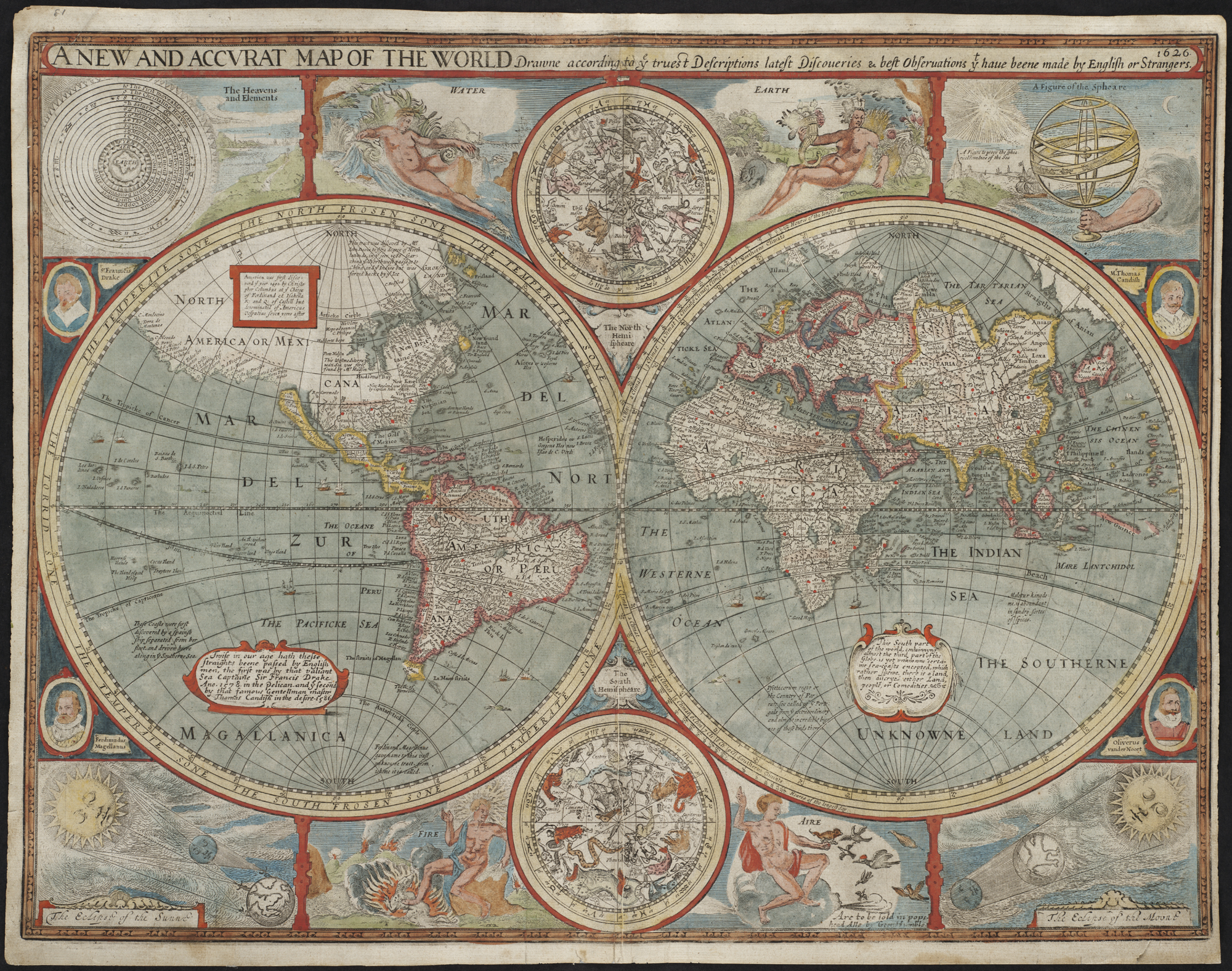
John Speed (1551/2-1629) is probably Britain's best-known cartographer. Speed's maps were published between 1611 and 1770 in various editions (the original engraved copper plates survived until the 18th century). His maps are understandably popular: there's an undeniable antiquarian charm, with their decorative heraldic borders, royal portraits, sites of famous historic battles, cherubic putti, galleons, sea monsters and compass points. But few people realise that Speed created his atlas specifically to illustrate his book on British history, The Theatre of the Empire of Great Britaine (1611), which was the first atlas to include all the individual counties of England and Wales, as well as maps of Ireland and a general map of Scotland. It depicted towns, villages, and boundaries as they were in the time of Shakespeare. Speed also produced beautiful maps of France, Italy, Spain, Africa and China. There are countless reproductions on the market, and new collectors need to know what to look out for.
See also: Travel the World Through Art
For example, an original Speed map should have a descriptive text on the back, evidence of a centre fold and binding, and a plate mark (as the copper plate leaves a visible indentation on the paper). The map should also be printed on 'laid' paper, with a texture. In contrast, modern paper is flat and featureless. Original Speed maps are affordable and priced according to demand and maker. The elegant 17th-century maps of Robert Morden remain inexpensive compared to the maps of Christopher Saxton, or Dutch cartographers such as Joannes Blaeu and Jan Janssonius. That said, a map of Cornwall, Yorkshire or Lancashire will be more expensive than a map of Rutland, England's smallest county. That's not to say that a map of Rutland will necessarily be a good investment just because it's cheap: it probably won't. "Decent maps of Singapore," says Tim Bryars, "tend to be scarce for a number of reasons. The climate is not conducive to the preservation of paper, and wealthy Singaporeans have been chasing limited stock for years. It's the same with the Republic of Texas (a country independent of the United States for just ten years, from 1836 to 1846). If you suddenly develop an interest, you will find that enterprising collectors have already beaten you to it." Likewise, twenty-five years ago, maps of India were more affordable, and prices have risen thanks to a thriving South Asian middle class.
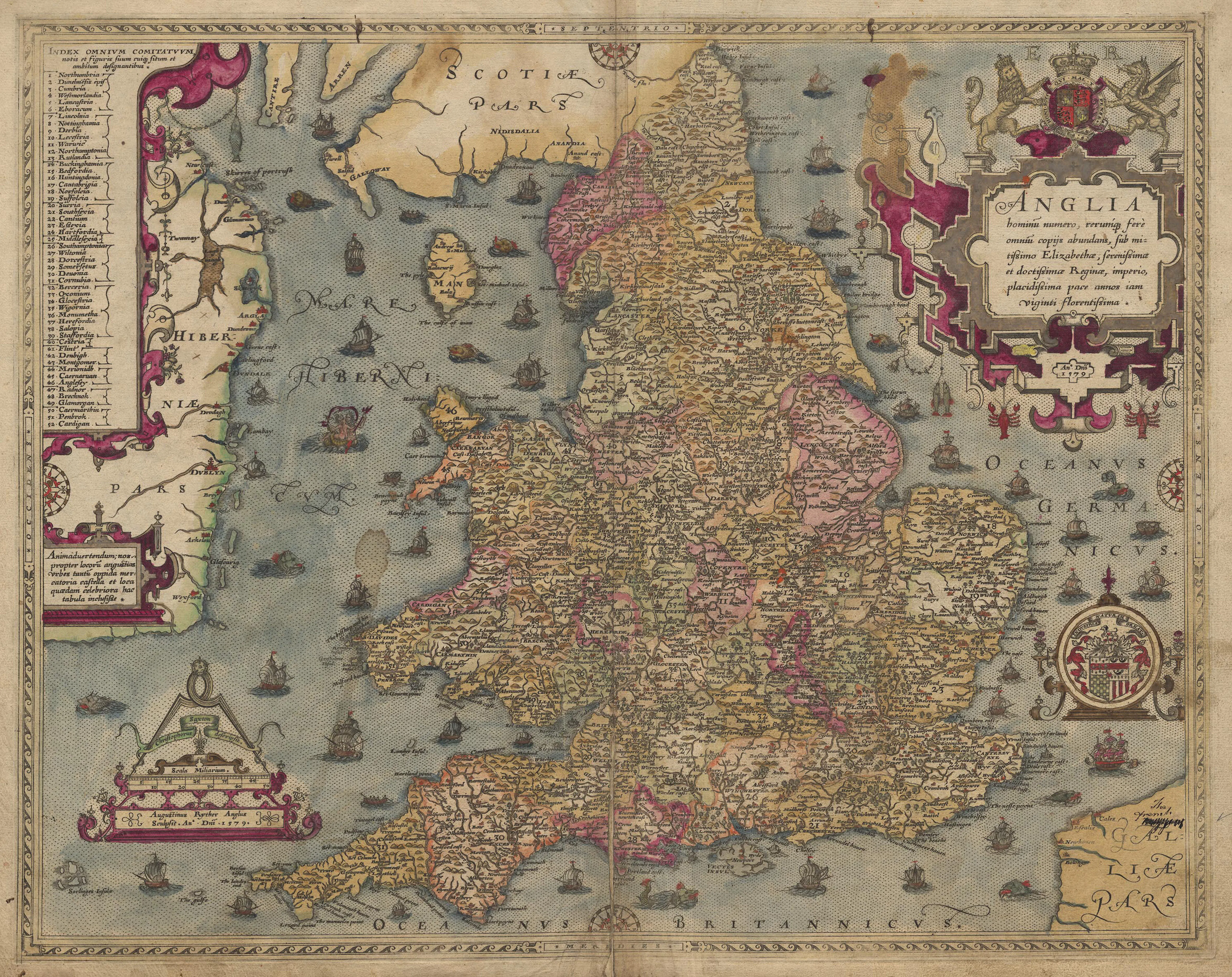
Although fascinating, the world of antique maps can be a daunting subject for the beginner. Bryars advises new collectors to buy from reputable specialist dealers, at least in the early stages of their collecting career. A good dealer will point out the exact condition of a map, list its faults (if any), and provide helpful information based on years of experience and knowledge. Bargain auction estimates might seem tempting to a newcomer, but if a framed map turns out to be a dud, the old 'buyers beware’ principle applies.
See also: Need to Know: Tips for Buying at Auction
When it comes to the knotty subject of condition, as with all antiques, it is advisable to buy the best you can. In the world of map collecting, condition is crucial. A map in good condition will be easier to sell on if you become tired of it – a small collection of maps in excellent shape is more desirable than a great quantity in poor condition. Experts advise to avoid maps in older frames, sometimes catalogued by the auction houses with the proviso 'unexamined out of frame'. This is because frames can hide a multitude of defects. Today, improvements in modern framing techniques mean that collectors can display framed maps on the wall without the fear of staining or fading them. However, a common problem with mid-20th century framing is the 'spray mount'. In the past, maps were often stuck down on a board (or even wood) using acidic adhesive to flatten them out, and it may be impossible for a restorer to remove the map from the board, especially in the case of synthetic adhesive. Mounts can also hide trimmed edges. A perfect map with a wide margin is more acceptable than a map with the edges cut down. Mounts can hide serious issues: staining, tears, or, even worse, a missing section.
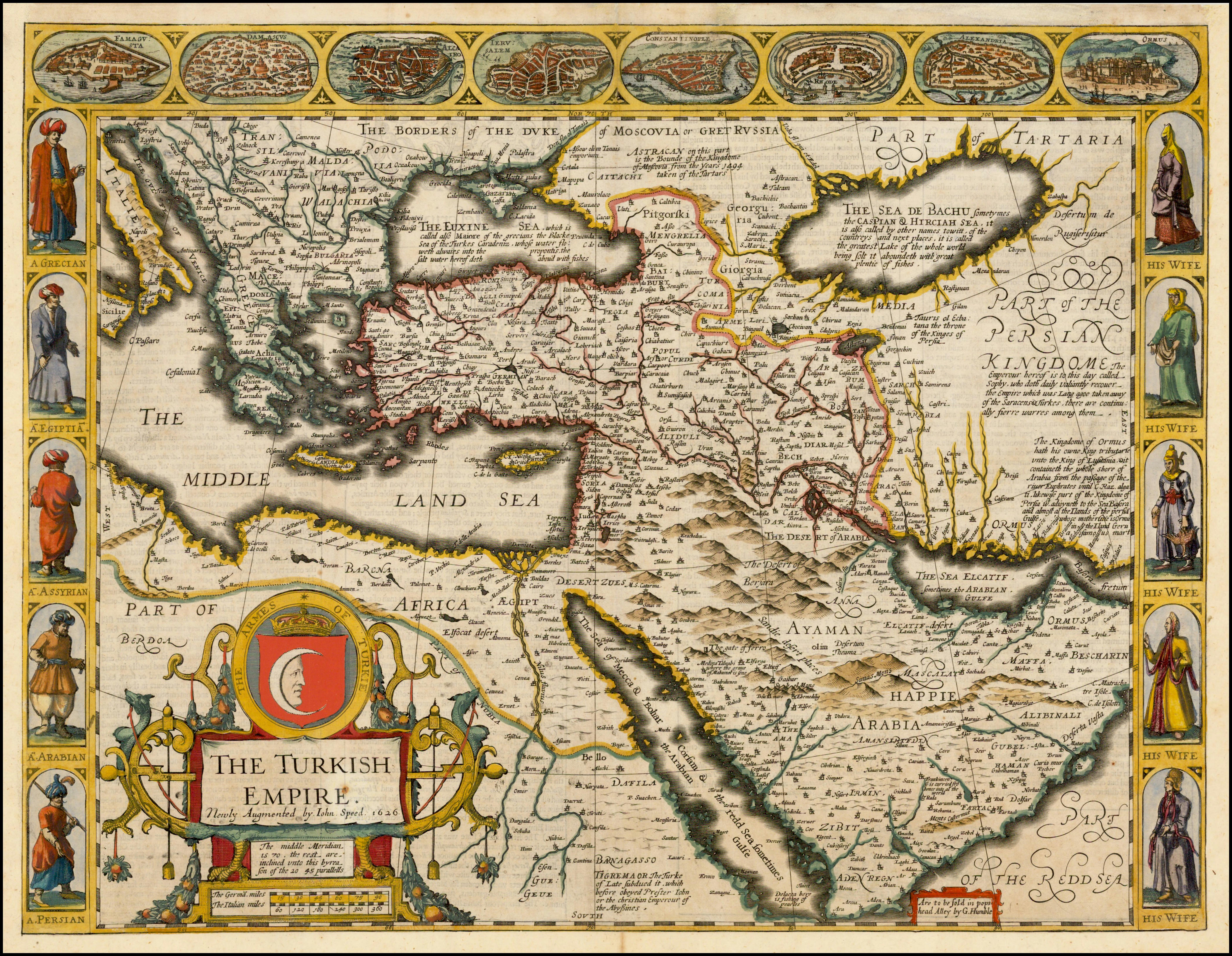
That said, antique maps come from various sources, many from atlases and travel books, some published separately. Many were printed on sturdy handmade rag paper, making restoration viable, if necessary. Speed's maps were almost always sold uncoloured (with some exceptions), and examples with original hand-colour command a significant premium. Unlike other antiques, later hand-colouring can be acceptable to collectors: "modern colouring, painted to a high standard, can increase the value of a map", says Paul Orssich – a leading expert in Hispanic studies, rare books and maps – "making it more attractive and saleable. But sloppy, amateur colouring might devalue a map, as much as by 90%." On the other hand, a degree of wear is more acceptable on a broadsheet, a separately published map, which was not part of a book or atlas. In the past, a traveller might have used a broadsheet as a practical map, folded away in a pocket for a specific journey, so surviving broadsheets tend to appear on the market in a less-than-perfect condition.
See also: The Art of Advertising: Collecting Memorabilia
Antique maps can be surprisingly affordable. You can still buy maps from the 16th, 17th and 18th centuries for a couple of hundred pounds. Value is based on rarity and condition, but also on the historical importance of a map, especially if it is a landmark publication, and subsequently copied by cartographers throughout history. "Early maps are often wildly inaccurate", says Orssich, "and that's part of the fun. Cartographers imagined the outline of a country or town, often constructed from the romantic tales of sailors returning from a voyage."
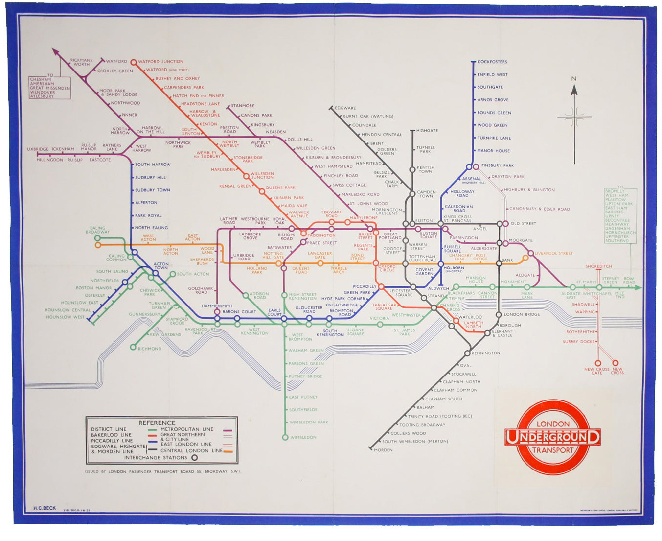
But fashions come, and fashions go. "There's been a huge surge of interest in 20th-century maps, as collectors started to realise just important and rare some of these maps really are", says Tim Bryars. Original and early London Underground maps, designed by Harry Beck, are now avidly sought after since when, not so long ago, dealers consigned them to their miscellaneous bin. "I was the first dealer to put them in a shop window in the West End of London", reminisces Bryars. "People thought I was crazy, but they have now entered the mainstream. These maps were not meant to be kept, so were often thrown away. Their survival rate is tiny." A four-hundred-year-old map, on the other hand, although decorative, might lack that rarity factor. Age does not necessarily guarantee value.
See also: 6 Sensational Attic Finds
See also: A Brief History of the Postcard
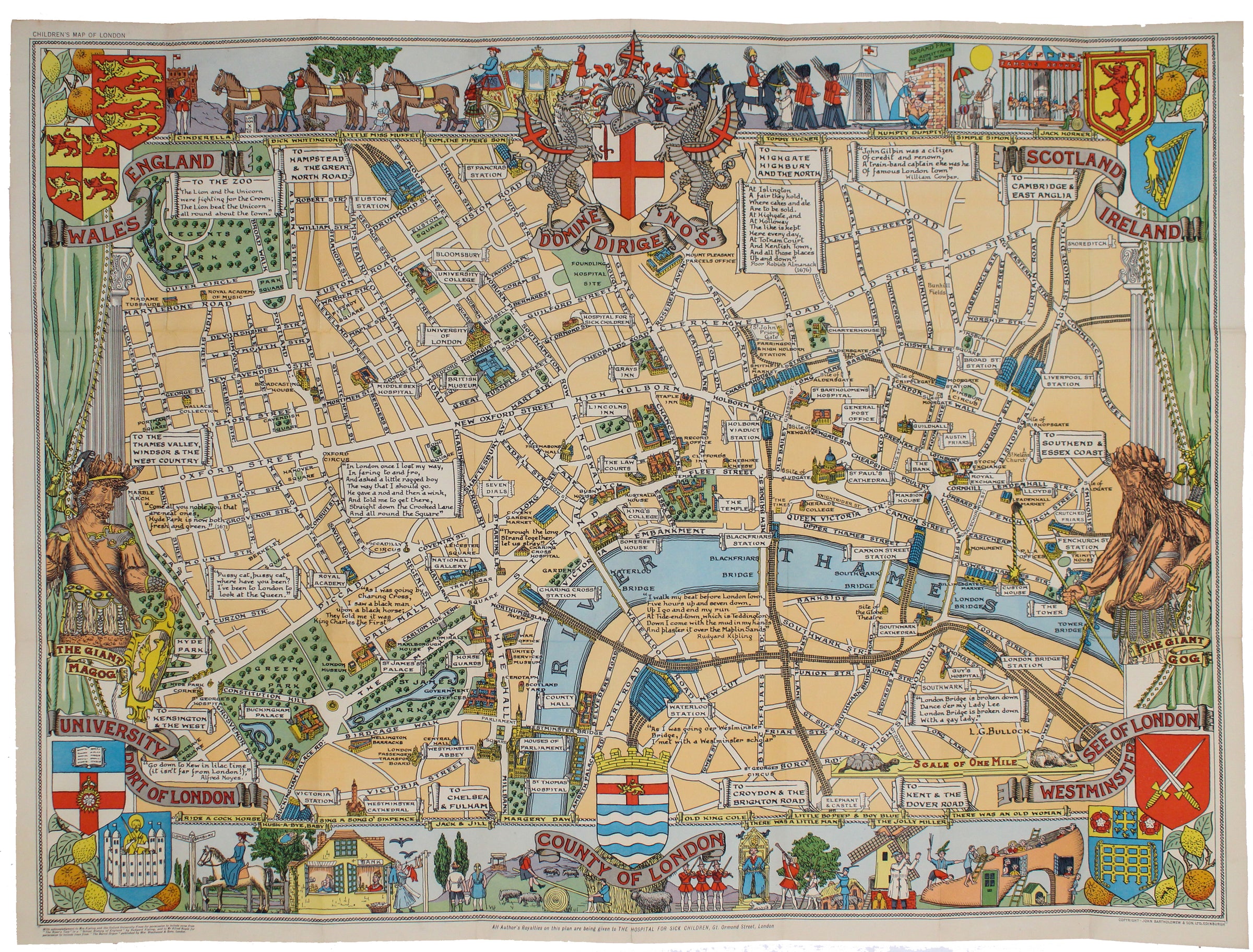
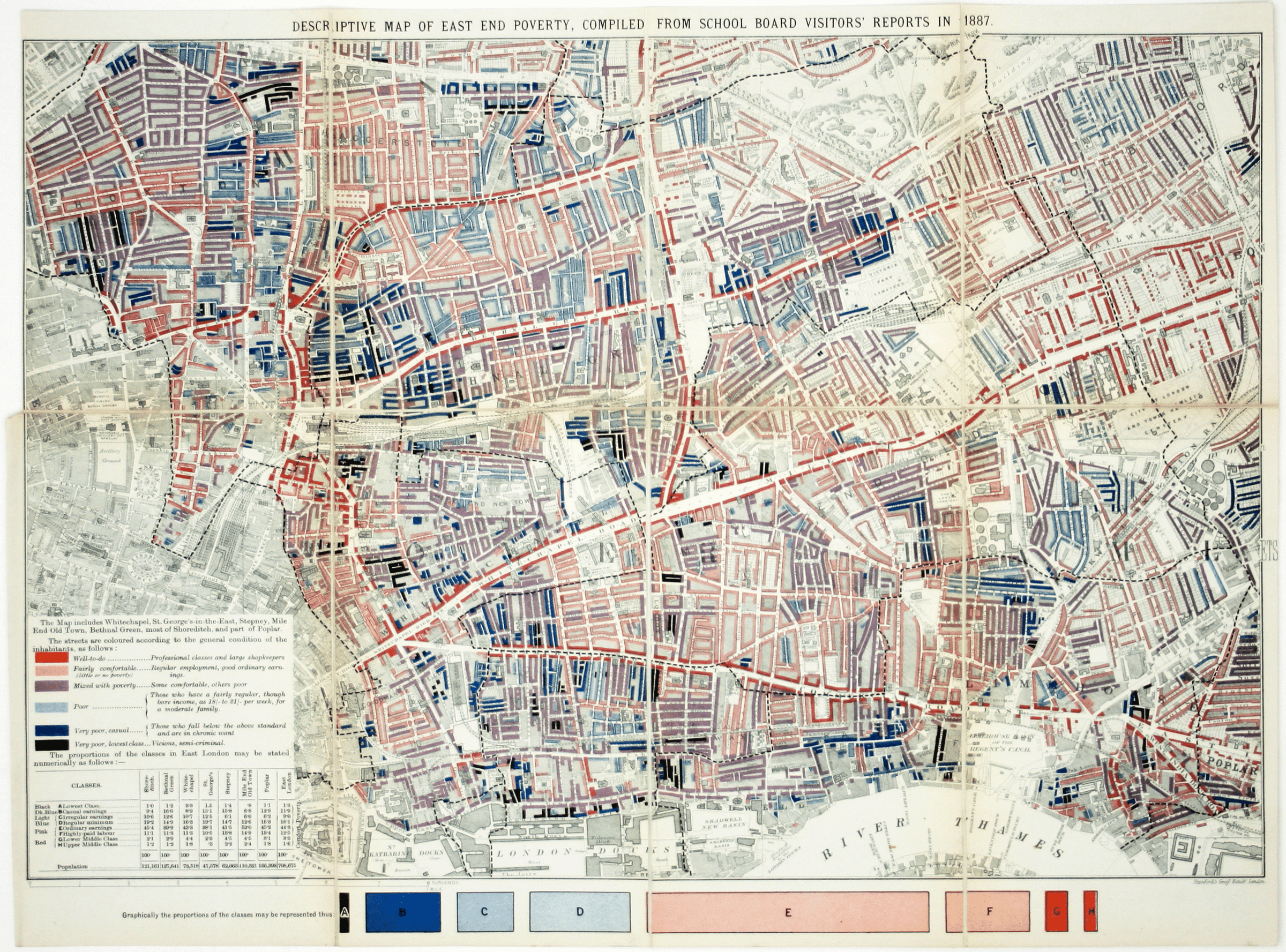
So how to build a collection? "Focus on an area that has a special meaning, but keep your area of interest tight", advises Paul Orssich. "The more you look for, the more you will find." Unsurprisingly, maps of London are popular with collectors. A delightful 1930s 'Children's Map of London' by Leslie George Bullock, illustrated with London's twin giants, Gog and Magog, might be bought for as little as £200; while a fascinating (and historically important) 'Booth's Poverty Map' (1889), which identifies deprived areas of Victorian London, could be yours for £3,750.
Want more articles like this delivered straight to your inbox? Subscribe to our free newsletter
If you're interested in maps of a specific area, a bibliography is essential: catalogues are a practical way to benefit from the experience of all those who came before you. It will also give you commercial knowledge, plus the 'nomenclature' (i.e. the language professional dealers use to describe and catalogue maps) to give you a head start. Although expensive, bibliographies can be a fascinating read in their own right. "Bibliographies save money and grief", explains Bryars, "they help you to place maps in their context and buy the right object, especially as there is plenty of false information out there online." New collectors might also want to join the International Map Collector's Society, which publishes a scholarly – yet accessible – journal four times a year.
Read more articles in Barnebys Magazine
Bryars & Bryars is an independent dealer of antiquarian maps, books and prints.
Paul Orssich specialises in Spain & Hispanic Studies and sells rare, old and out-of-print books and maps.